Your cart is currently empty!
Hiking Kayakoy to Oludeniz on the Lycian Way
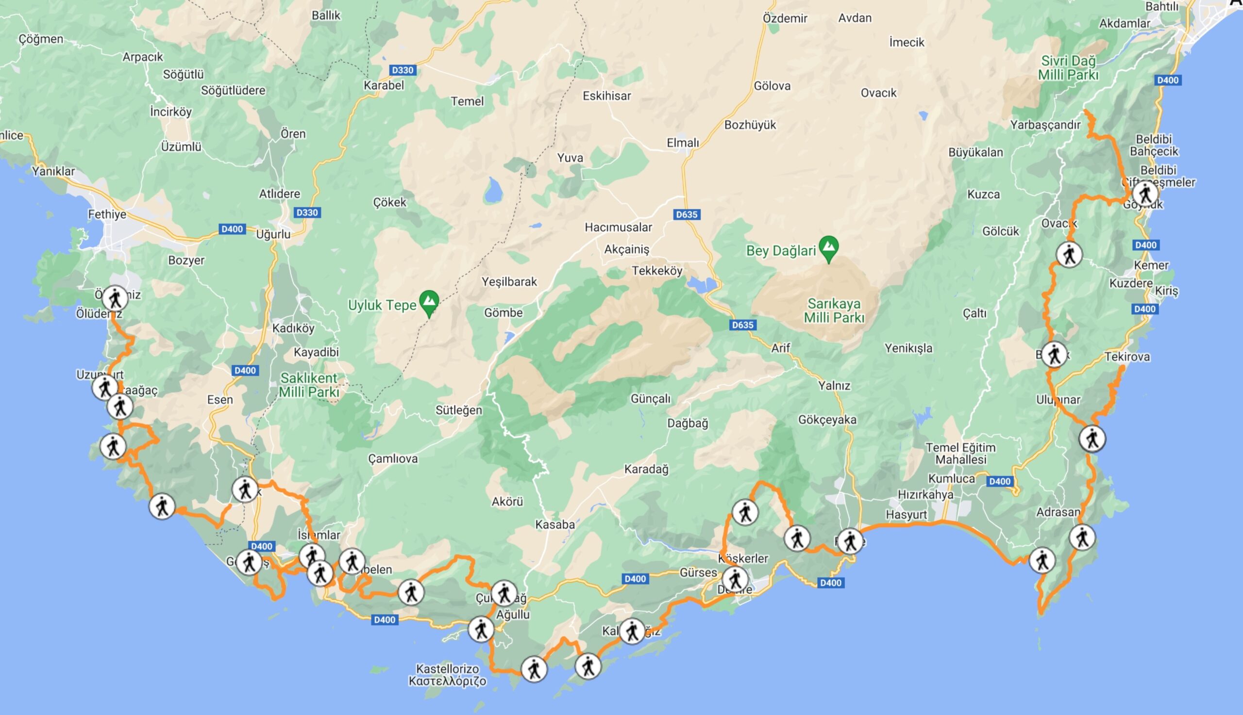
The hiking route from Kayakoy to Oludeniz on the Lycian Way is an optional starting point.
Total distance: 7km
Check out my itinerary for this section here.
Read about my experience hiking this section here.
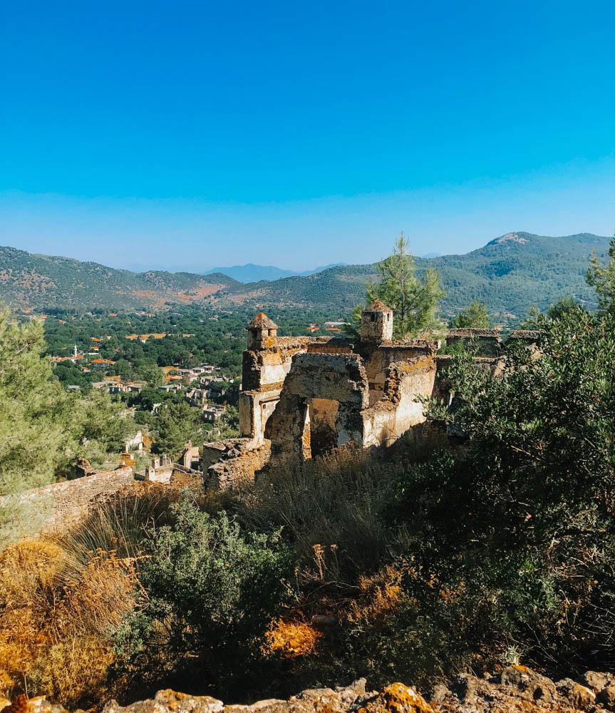
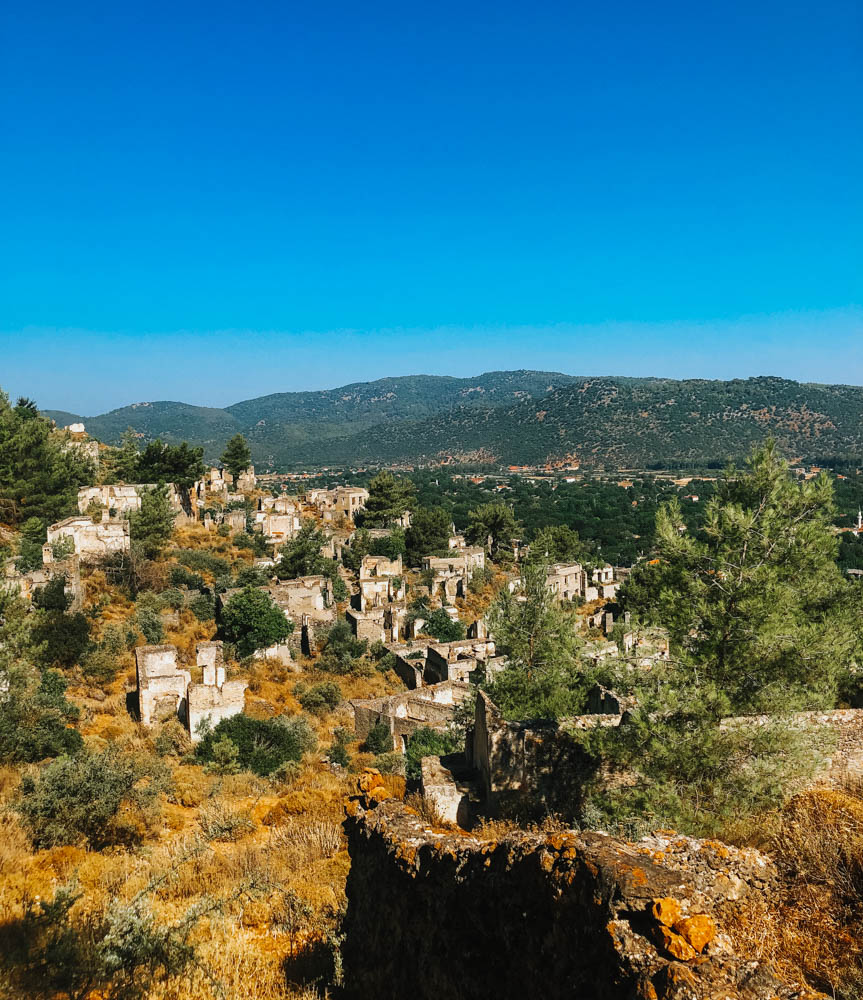
Kayakoy is an ancient ghost city that is fascinating to walk around and take pictures.
Oludeniz is the beach in Fethiye that many tourists come to visit.
This is an optional start on the Lycian Way because the path does not directly connect from Oludeniz to the official start of the trail. You will have to walk a long distance along the beach and up the mountain to reach the big yellow sign that marks the start of the Lycian Way.
Instead of walking from Oludeniz to the official start, it’s a much better idea to take a taxi. There should be taxis all around this area as it is a tourist hotspot. Most likely you would want to get a hotel in Oludeniz, as it is a city there is no-where to camp, then take a taxi to the start of the trail the next day.
I hiked this trail backwards, starting from Olundeniz-Kayakoy and it was a very enjoyable experience. I recommend this route because you will be hiking down from the mountains onto the ghost town of Kayakoy, so you will not need to pay a fee for the entrance to the ancient ruins.
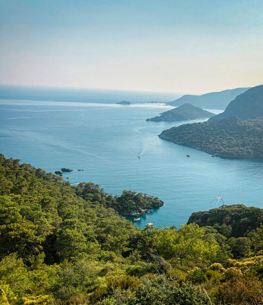
Most people walk this path in one day, but we took two. We walked from Oludeniz up into the forest, and found a great wild camping spot on top of the mountain with an absolutely gorgeous view of the sea. The next day we woke up early and had a very short one hour hike down to the ghost city of Kayakoy. It was amazing to walk into an abandoned city all alone and for free before the tourists arrived.
*Finding the entrance from Oludeniz to Kayakoy is not intuitive. You’ll need to walk down Oludeniz Cd. till you reach the end of the street (30minutes from Oludeniz Beach) and look in the mountains for the entrance to the trail. It feels pretty random but check on TrailSmart for the maps location.
